
The first truly global map was born from the Portuguese Age of Exploration.
Somewhere in your parents' or grandparents' house, there was probably an old atlas. Its pages a little worn, its borders drawn with more confidence than the facts of the time could really justify. Someone, at some point, had to draw those lines for the first time. In large part, it was the Portuguese who did it.
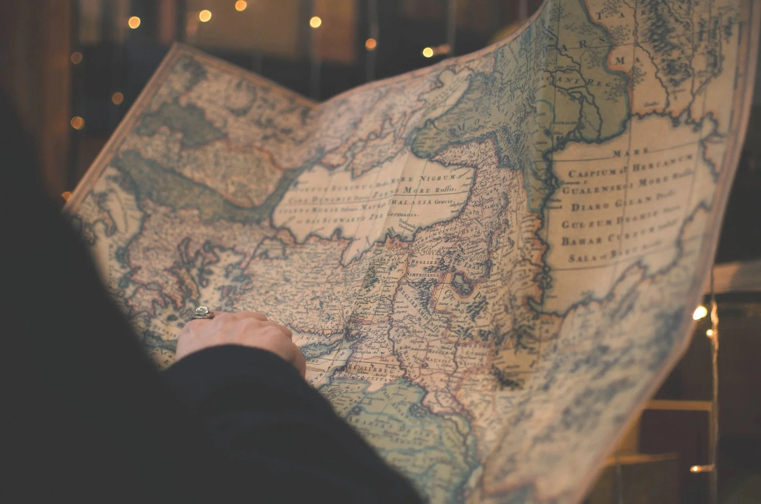
Most travellers arrive in Portugal thinking of custard tarts, the Douro valley, or the beaches of the Algarve. Few realise they are standing in the country that, over 500 years ago, helped draw the first truly global map the world had ever seen.
A small country that decided to look at the ocean
In the 15th century, much of Europe still faced inward, absorbed in its own continent. Portugal did the opposite.
Under the drive of Prince Henry, Portuguese navigators began sailing down the African coast, year after year, refining their routes, their instruments, and the ships themselves, until they could withstand the Atlantic.
This was not one brilliant plan drawn up in a single day. It was patient, accumulated work, carried out by generations of sailors who risked their lives in waters no one before them had charted. Every voyage brought back new information. Every return corrected a map that, until then, had simply been wrong, or blank.
That is how the first routes to Africa, India, Brazil, and the Far East came into being. And that is how, voyage after voyage, the edges of the known world stopped being empty.
Portugal helped draw the map we still use
As Portuguese navigators pushed further along coasts and oceans unknown to Europe, the cartographers of the time recorded what they brought back. The result was the first map with a genuine claim to being global: one that no longer showed only the Mediterranean and a corner of Europe, but the entire world, with a precision no one had reached before.
500 years later, we still consult maps every day. They simply fit in a pocket now, they talk and correct themselves. What has not changed is the patience behind the work. Back then, every line on that map cost years of travel, and often, sailors' lives.
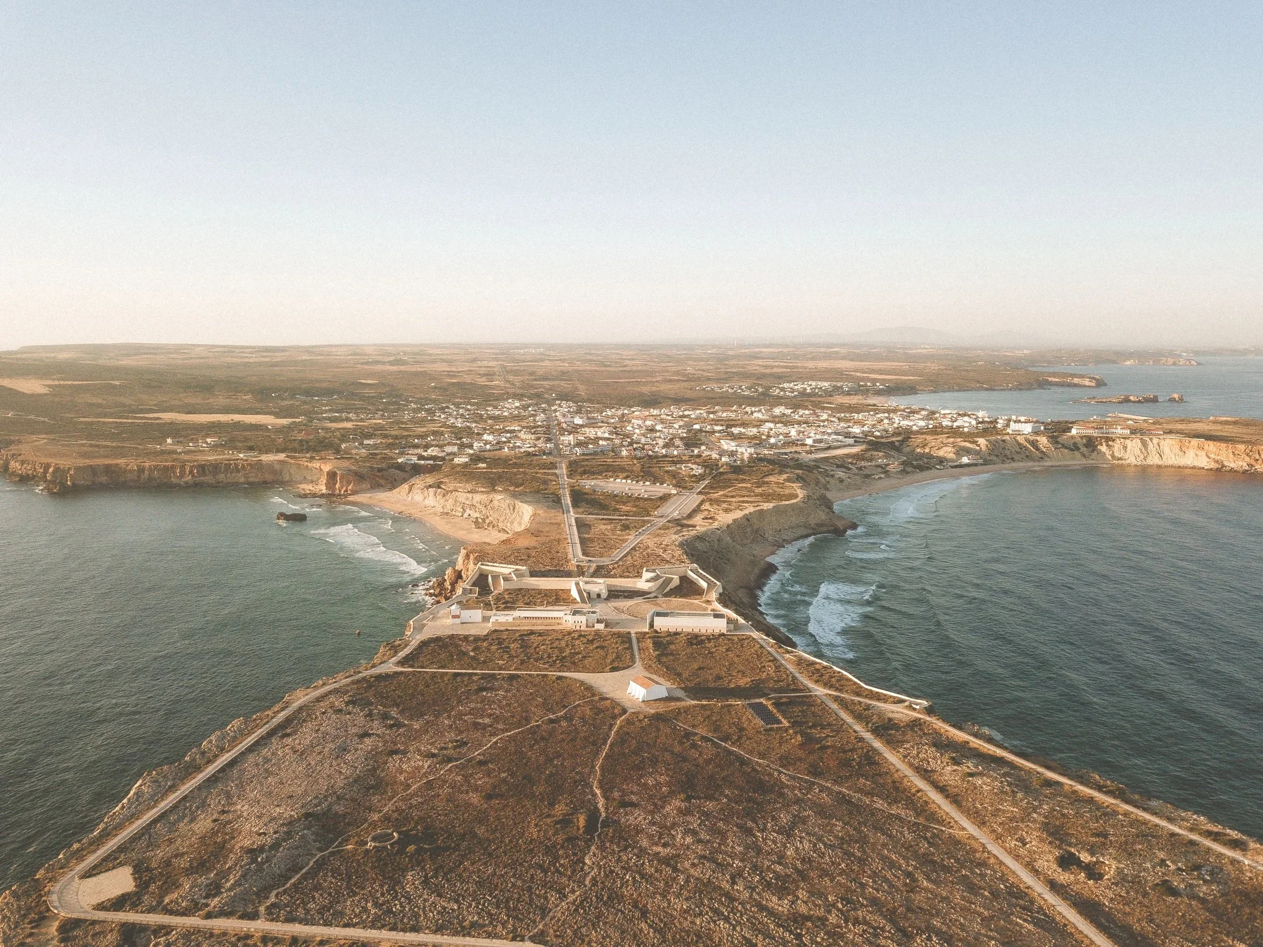
Sagres the southernmost point of Europe.
It is believed to be the place where Prince Henry the Navigator established the world's first school of navigation. Here, he gathered cartographers, astronomers, sailors, and scholars from different cultures, bringing together knowledge of navigation, geography, astronomy, and shipbuilding that helped shape the Age of Discovery.
A Secret So Well Kept, It Ended Up on a Butcher's Wall
Fun story alert: Picture one of the most important maps of the Age of Discovery, guarded so closely that leaking it could once be treated as treason, spending part of the 19th century hanging on the wall of an Italian butcher's shop. No one planned that outcome. And yet that is exactly what happened to a Portuguese map now known as the Cantino Planisphere.
The story starts in 1502, with an Italian agent named Alberto Cantino, stationed in Lisbon on behalf of the Duke of Ferrara. His task was simple to describe and difficult to pull off: get a copy of Portugal's most closely guarded charts, the ones drawn from decades of secret voyages down the African coast and across the Atlantic. Cantino found an unnamed Portuguese cartographer willing to make him one, paid for it in gold, and shipped his prize to Italy before word could catch up with him.
What he smuggled out is one of the earliest surviving maps to show the coastline of Brazil as the Portuguese were only just beginning to chart it, and the first known map to mark the Equator, the tropics, and the line agreed at Tordesillas Treaty, dividing the entire known world between Portugal and Spain.
The map lived safely in Ferrara for almost a century, then moved to Modena in 1592. Then, during a period of civil unrest, it vanished from the record entirely. Decades passed with no trace of it. In 1873, the director of the local museum finally tracked it down, not in an archive, not in a private collection, but hanging on the wall of a butcher's shop, quietly doing duty as decoration.
It hangs today in the Galleria Estense in Modena, properly restored, carefully protected, and, one assumes, kept a safe distance from any more butchers.
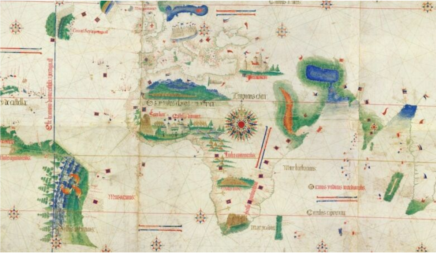
A single historic map changed the history of cartography forever. It was the first to chart the Equator, the Tropics, and the groundbreaking voyages of Vasco da Gama and Pedro Álvares Cabral—reshaping how the world saw itself.
What this has to do with your trip
There is something we like to remind the travellers we work with: Portugal has always been a country built on discovery. Five hundred years ago, its navigators helped the world discover new places, information so valuable that people were willing to risk their lives, and their reputations, to get hold of it. Today, we help you discover the Portugal most visitors never get to see, at a pace that lets you actually take it in, rather than rush past it.
If you have already looked into a trip here, you know how quickly the same ten recommended places come up, again and again. The Portugal that actually matters is often only minutes away from those places, but it takes someone who genuinely knows the country, and knows how to move through it comfortably, to take you there.
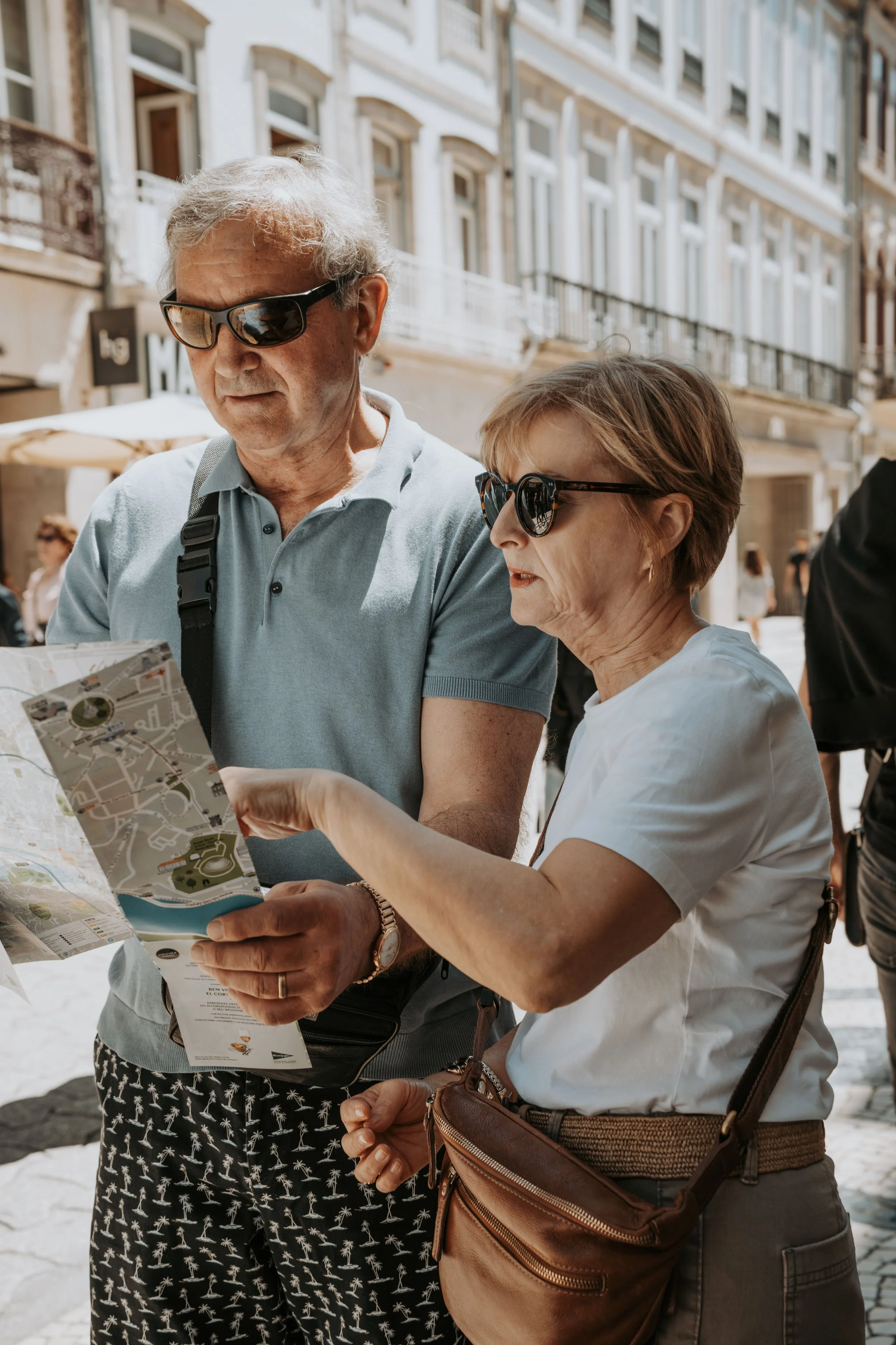
A detail worth keeping
Next time you open a map on your phone to find a restaurant or a quiet beach, it is worth remembering that the very idea of mapping the world with precision began with sailors who set off from a country the size of Portugal, in secrecy, without knowing exactly what they would find, and without any certainty of coming home. It is worth remembering, too, that one of the most important records of that effort spent part of its life hanging next to sides of meat, before anyone realised what it truly was.
Portugal is still a small country with an old talent for revealing what is yet to be discovered. The difference is that, this time, nothing is left to chance, and no one is asking you to take any risks of your own. You only need someone who has already made the journey, so that yours can simply unfold.
Do you want your next trip to Portugal designed by someone who knows the country as well as those navigators once knew the ocean, so all you have to do is enjoy it? Scroll up and talk to Olive.
